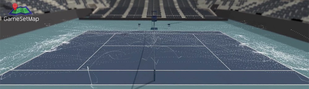
The world’s largest tennis map will be on display during Esri’s annual user conference this week in San Diego. The conference kicks off tomorrow and attracts around 15,000 geospatial enthusiasts from all around the world.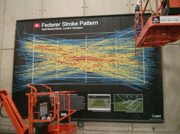 A colleague of mine, Ken Field (@kennenthfield) took this shot earlier today showing the map being put into place by two cranes! The map measures 5 m (16.2′ ft) wide x 3.7m (12.1ft) high. I put the map together to showcase unique, trendy and colourful maps made using GIS (Geographical Information Systems).
The map shows Roger Federer’s stroke pattern during the London Olympic Games against Andy Murray last year.
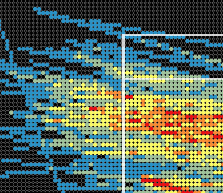 A close up of the grid system used on the map.
The red areas on the map show where the ball passed through a section of the court 14-25 times. The light blue areas are where the ball passed through the court 1-2 times.
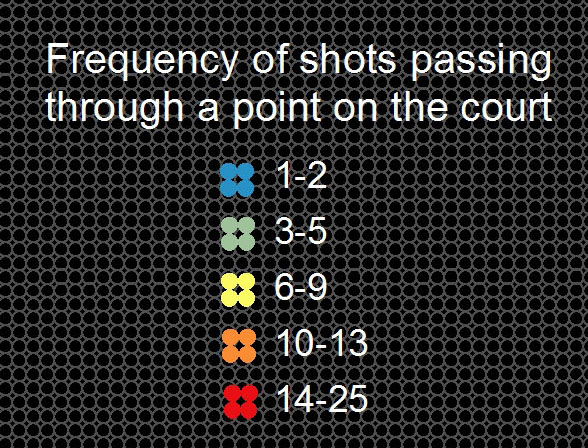
The legend from the world’s largest tennis map.
You can hashtag the map on Twitter by using #federermap.
If you’re in San Diego this week and you’re a tennis fan you should stop by and see the artwork!